

Image
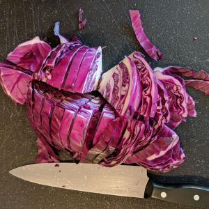
Turn Cabbage into a pH Indicator.
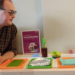
Explore a wealth of engaging STEM activities and resources that will spark your curiosity and inspire your love for science. Our hands-on activities are designed to be done from the comfort of your own home, so you can learn and explore at your own pace. With easy-to-follow instructions and accessible materials, you can dive right in and start exploring the wonders of science.